AMBER Atlas
Adaptive Management of Barriers in European Rivers
The AMBER project (Adaptive Management of Barriers in European Rivers) created the first comprehensive inventory of river barriers to improve connectivity across Europe.
By consolidating data from across the continent, the project revealed that more than 1.2 million barriers currently fragment Europe’s rivers, averaging nearly one barrier for every kilometer of stream. This database now serves as the scientific foundation for restoring river connectivity and protecting freshwater biodiversity.
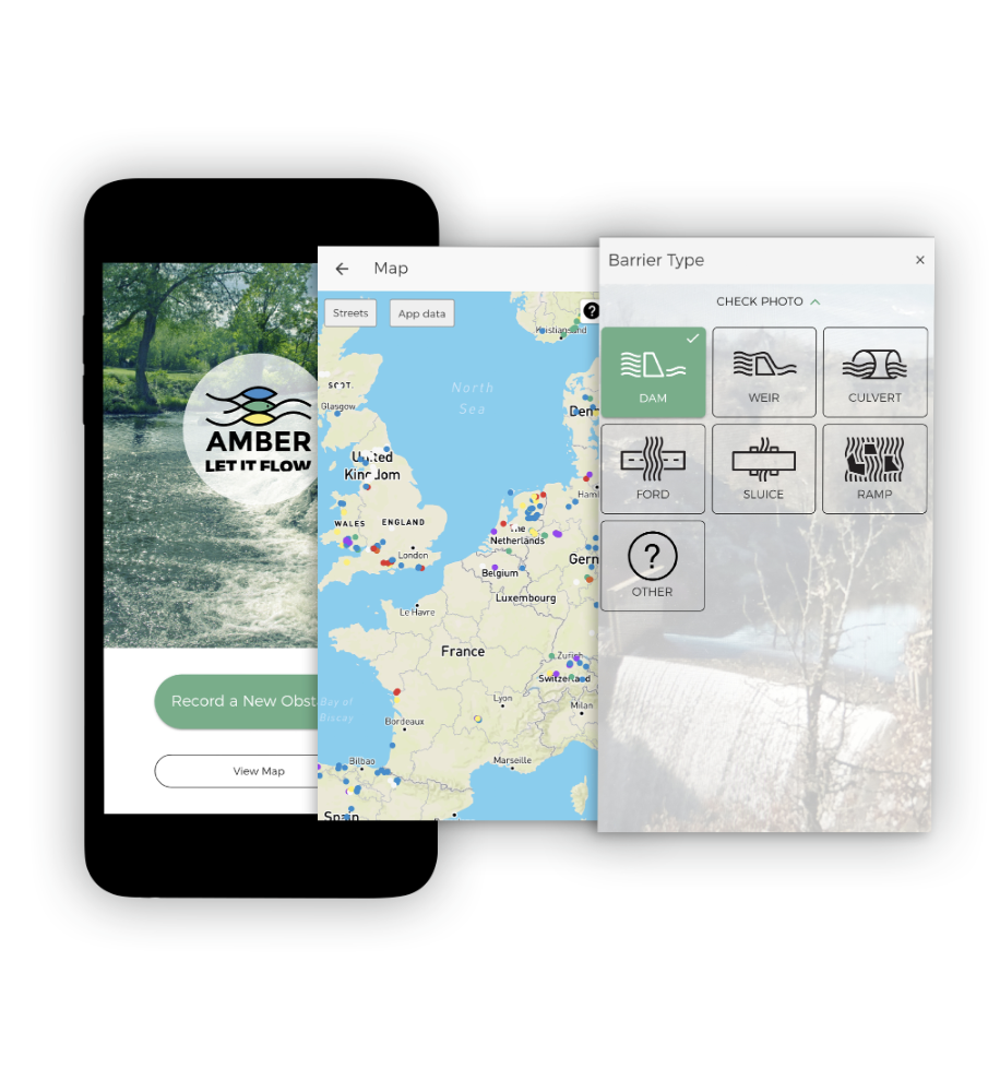
The Barrier Tracker app
This citizen science app empowers the public to record data, including photos, precise locations, and barrier heights, providing greater spatial coverage than conventional surveys. This data provides vital information for more effective river management and the restoration of ecological connectivity across Europe.
The AMBER Barrier Atlas and the Citizen Science portal (AMBER Barrier Tracker app) are now managed by the Blue Rivers Foundation.
More about AMBER